青藏高原雪盖与东亚季风异常对华南前汛期降水的影响
THE INFLUENCE OF ABNORMAL SNOW COVER OVER QINGHAI-XIZANG PLATEAU AND EAST ASIAN MONSOON ON EARLY RAINY SEASON RAINFALL OVER SOUTH CHINA
-
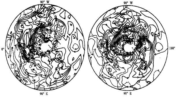
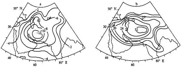
摘要: 应用华南25个站1954~1998年4~6月降水量资料以及有关青藏高原雪盖异常年份资料和东亚季风强度指数, 通过典型旱涝年前期对比诊断与相关分析, 指出青藏高原雪盖对华南前汛期降水的影响相当显著, 前冬春多 (少) 雪年有利于前汛期雨涝 (干旱); 典型旱、涝年前冬500 hPa中高纬环流特征显然不同, 主要表现在典型旱 (涝) 年北半球极涡强度显著偏弱 (强)、东亚大槽强度偏强 (弱); 东亚季风, 特别是冬季风的强弱变化, 对前汛期降水具有较强的指示意义。同时还发现, 在青藏高原西侧的伊朗高原及邻近地区冬季500 hPa高度升降变化, 可作为华南前汛期降水一个强的前期征兆信号。Abstract: Based on the precipitation data of 25 stations during April to June from 1954 to 1998 in South China, the abnormal years of snow cover over Qing hai-Xizang Plateau (QXP) and the East Asian Monsoon intensity indices, the relationship between those is studied through preperiod diagnostic analysis of the canonical drought/flood years and correlation analysis. The main results are as follows: (1) The early rainy season rainfall decreased (increased) when the snow cover in the previous winter-spring was less (more) than normal and when East Asian Monsoon intensity enhanced (weakened) in last winter. (2) The 500 hPa geopotential height field appears obviously different over Asian-Pacific in the previous winter, which was mainly characterized by strengthened (weakened) East Asian Trough in canonical drought (flood) years. (3) The 500 hPa geopotential height variation over Iran Plateau and its adjacent regions in winter shows a strong precursory signal for the rainfall forecast of early rainy season.
-
Key words:
- Snow cover over;
- Qinghai-Xizang Plateau;
- East Asian Monsoon
-
表 1 1954~1998年华南前汛期典型旱涝年份

表 2 青藏高原冬春季雪盖异常基本资料

-
-


 设为首页
设为首页 加入收藏
加入收藏


 下载:
下载:


