2002年6月8日佛坪突发性特大暴雨天气过程分析
ANALYSES OF AN ABRUPT HEAVY RAINSTORM IN FUPINGON JUNE 8, 2002
-
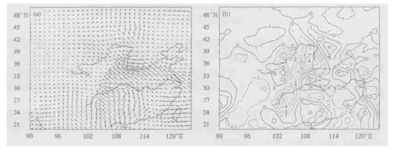
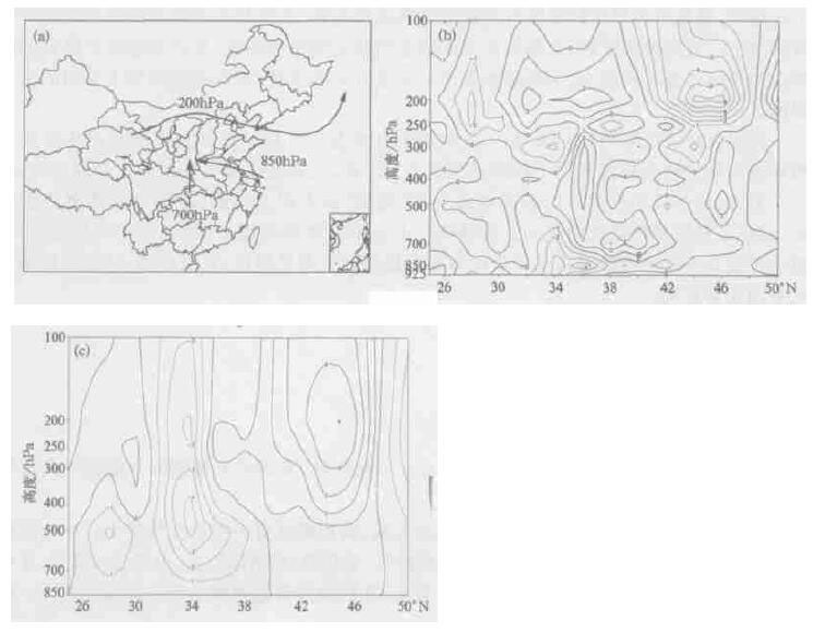
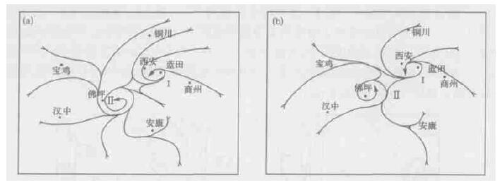
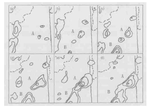
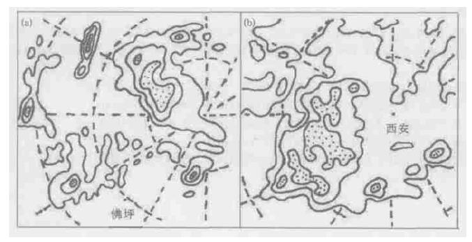
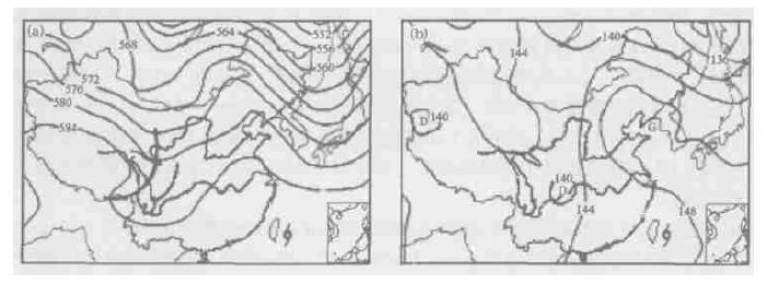
摘要: 对2002年6月8日发生在陕西佛坪的一次特大暴雨过程进行了综合分析, 结果表明:500 hPa槽前的中尺度切变线是直接影响暴雨产生的中-α尺度系统; 位于台湾岛以东洋面台风“浣熊”外围的低空偏东急流从海上一直延伸到陕西, 成为特大暴雨的主要水汽来源; 华北高脊稳定, 使得高原低值系统移速减慢、停滞, 有利于特大暴雨的形成; 急流次级环流为特大暴雨提供了持续强劲的上升运动; 在地面中尺度风场中, 两个中-β尺度气旋稳定少动, 与地面降水强中心相对应; 在红外云图上, 中-β尺度对流云团呈椭圆状, 云顶亮温TBB在-60 ℃~-70 ℃之间。中-β尺度对流云团的强弱变化与次级环流的强弱有直接的关系。Abstract: Systematically analyses were carried out for an abrupt heavy rainstorm in Fuping of Shaanxi province on June 8, 2002.The results show that a meso-scale shear line lying in front of 500 hPa trough is the meso-α-scale system that causes the rainstorm.Southeast jet outside typhoon named Coon located in the ocean surface on the east of Taiwan, extended to Shaanxi province from the sea, and supplied the moisture for the rainstorm.The Huabei anti-cyclonic ridge blocked off the eastward movement of rainstorm from the Qinghai-Xizang Plateau and slowed the local rainstorm.Jet sub-circulation supplied a continuous and powerful updraft.In the low-level wind field, two meso-β-scale cyclones were stable and still, and corresponding to the surface heavy rainfall center.On the infrared images, meso-β-scale convective cloud clusters were like an ellipse.The brightness temperature in the cloud top ranged from-60 to-70 ℃.The strength variation of meso-scale convective cloud clusters is largely related to the strength of sub-circulation.
-
-


 设为首页
设为首页 加入收藏
加入收藏


 下载:
下载:
