 DownLoad:


|
| Citation: |
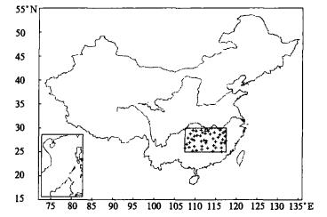
Wu Xianyun, Ding Yihui, Wang Qi, et al. Characteristics of the recent 40-year flood/drought over the middle reaches of the Yangtze. J Appl Meteor Sci, 2006, 17(1): 19-28. .

|
|
王绍武, 叶瑾林, 龚道溢, 等.中国东部夏季降水型的研究.应用气象学报, 1998, 9(增刊): 29-30. http://kns.cnki.net/KCMS/detail/detail.aspx?dbcode=CJFQ&dbname=CJFD9899&filename=YYQX8S1.008&v=MjQxOTlPZmdnNXpoQVU0amg0T1g2VHJIMDNlYk9UUmI2Zll1ZHJGaS9rV2c9PVBEVGFkcnZiSDgvTXI0Y3FGNTQ=
|
|
竺可桢.长江流域1931年7月雨量特多之原因∥竺可桢文集.北京:科学出版社, 1979: 133-140.
|
|
叶笃正, 黄荣辉.长江黄河流域旱涝规律和成因研究.济南:济南科学技术出版社, 1996: 80-83.
|
|
费亮, 王玉清, 薛宗元, 等.赤道东太平洋海温与长江中下游地区降水异常的相关分析.气象学报, 1993, 51 (4): 442-447. http://www.cnki.com.cn/Article/CJFDTOTAL-QXXB199304006.htm
|
|
朱益民, 孙旭光, 陈晓颖.小波分析在长江中下游旱涝气候预测中的应用.解放军理工大学学报 (自然科学版), 2003, 4(6):90-93. http://www.cnki.com.cn/Article/CJFDTOTAL-JFJL200306021.htm
|
|
鞠笑生, 杨贤为, 李丽娟, 等.我国单站旱涝指标确定和区域旱涝级别划分的研究.应用气象学报, 1997, 8(1): 26-32. http://qikan.camscma.cn/jams/ch/reader/view_abstract.aspx?file_no=19970104&flag=1
|
|
陈烈庭, 吴仁广.中国东部的降水区划及各区旱涝变化的特征.大气科学, 1994, 18(5): 586-595. http://www.cnki.com.cn/Article/CJFDTOTAL-DQXK405.008.htm
|
|
吴洪宝.奇异谱和多通道奇异谱.气象教育与科技, 1997, 44(4): 1-10.
|
Figures(10) / Tables(3)

